A Broader View for Fire & Rescue Operations
IRIS brings visual observation, thermal screening, incident-area mapping, documentation, and secured remote viewing to defined fire-service assignments—helping incident leaders see access, exposures, and changing conditions from above while the requesting agency retains command.
See more of the incident area
Initial Aerial Size-Up
An elevated RGB view can supplement ground observations of the incident area, access points, exposures, rooflines, vegetation, and other visible conditions relevant to the assigned mission.
Thermal Anomaly Screening
Thermal imagery can show apparent surface-temperature differences that warrant ground verification. Results depend on distance, angle, materials, weather, moisture, solar loading, and obstructions.
Incident Mapping
When time, airspace, visibility, and the scene allow, georeferenced imagery and map products can document an incident area, access routes, or change between planned capture periods.
Overhaul Decision Support
Thermal observations may help crews direct closer inspection during overhaul. They do not confirm complete extinguishment or replace hands-on verification and department procedures.
Scene Observation
Visual imagery can provide supplemental awareness of visible personnel movement, apparatus placement, access, and scene conditions without replacing the incident accountability system.
Pre-Incident Documentation
Planned imagery and mapping can support facility familiarization, access planning, training exercises, and documentation when the requested products fit the site and operating conditions.
Secure Remote Viewing
A live view may be shared with authorized personnel when satellite or cellular service, aircraft link quality, and the viewing party’s internet connection support a stable transmission.
Where the aircraft may add useful perspective
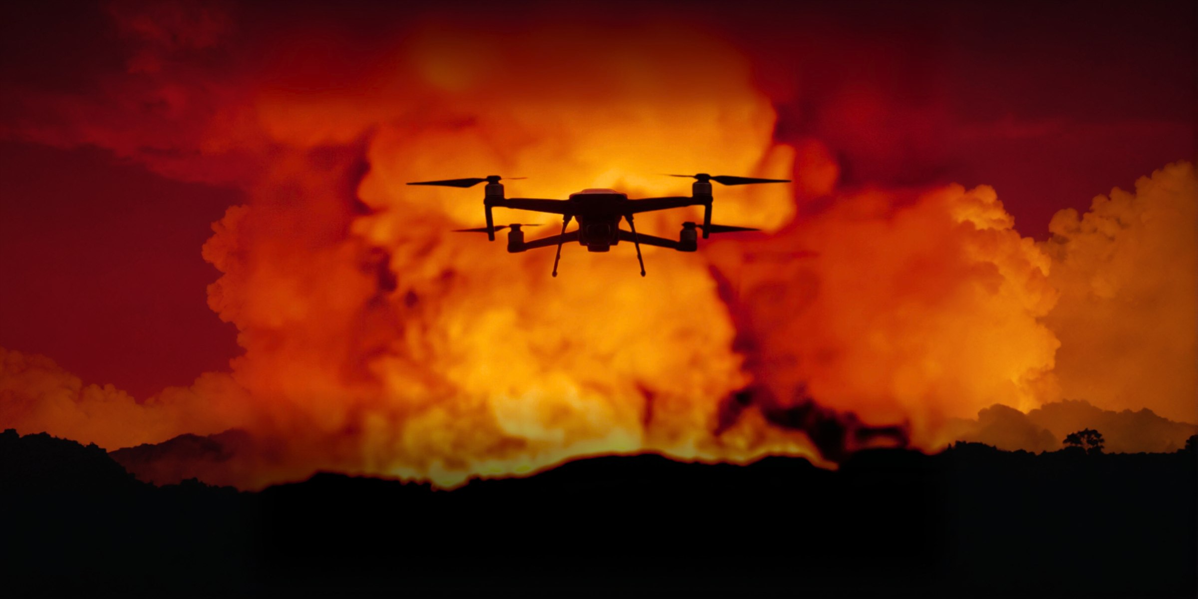
Wildland and Vegetation Fire Support
A planned flight may document visible fire activity, access, terrain, exposures, and surface-temperature anomalies across an assigned area. Smoke, wind, aircraft deconfliction, terrain, vegetation, and communications can substantially limit coverage and sensor usefulness.
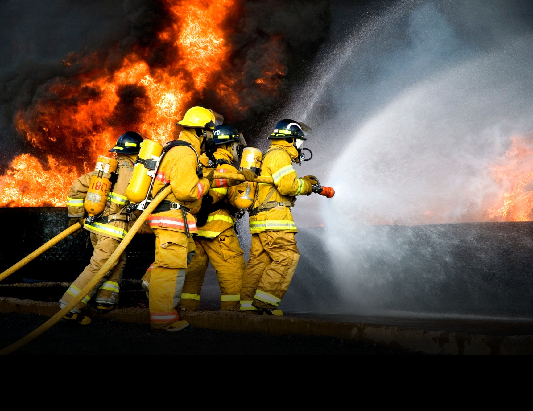
Structure-Fire Exterior Observation
An aircraft can provide exterior views of rooflines, upper stories, exposures, apparatus access, and visible changes over time. Thermal patterns are surface observations; they do not see through walls or roofs, establish structural integrity, or identify a person behind an obstruction.
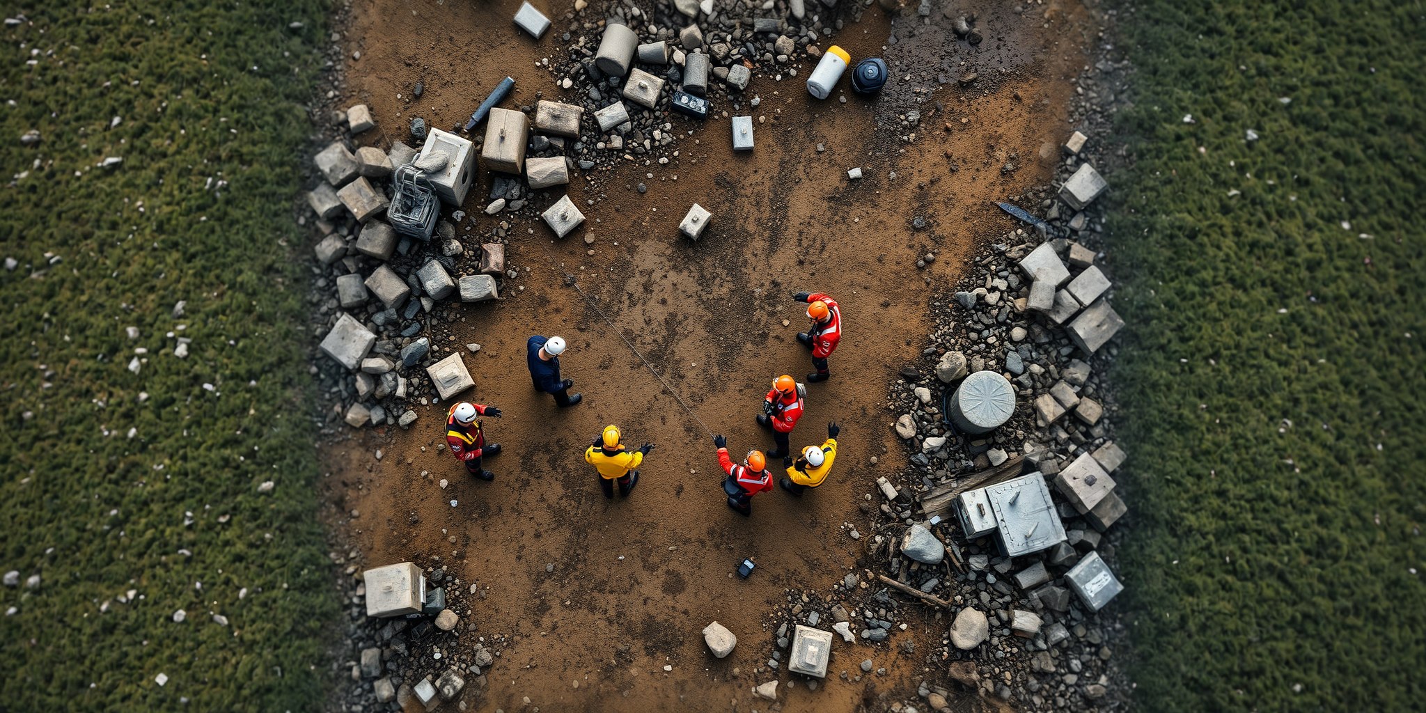
Training and Pre-Incident Planning
Non-emergency assignments can help an agency test communications, establish viewing procedures, document a training scenario, and determine which imagery or map products would actually support its command process.
Build the aerial plan before the next incident.
Define mission priorities, communications, viewing access, records, response conditions, and sensor use with IRIS Network before the aircraft is needed.