Aerial observation
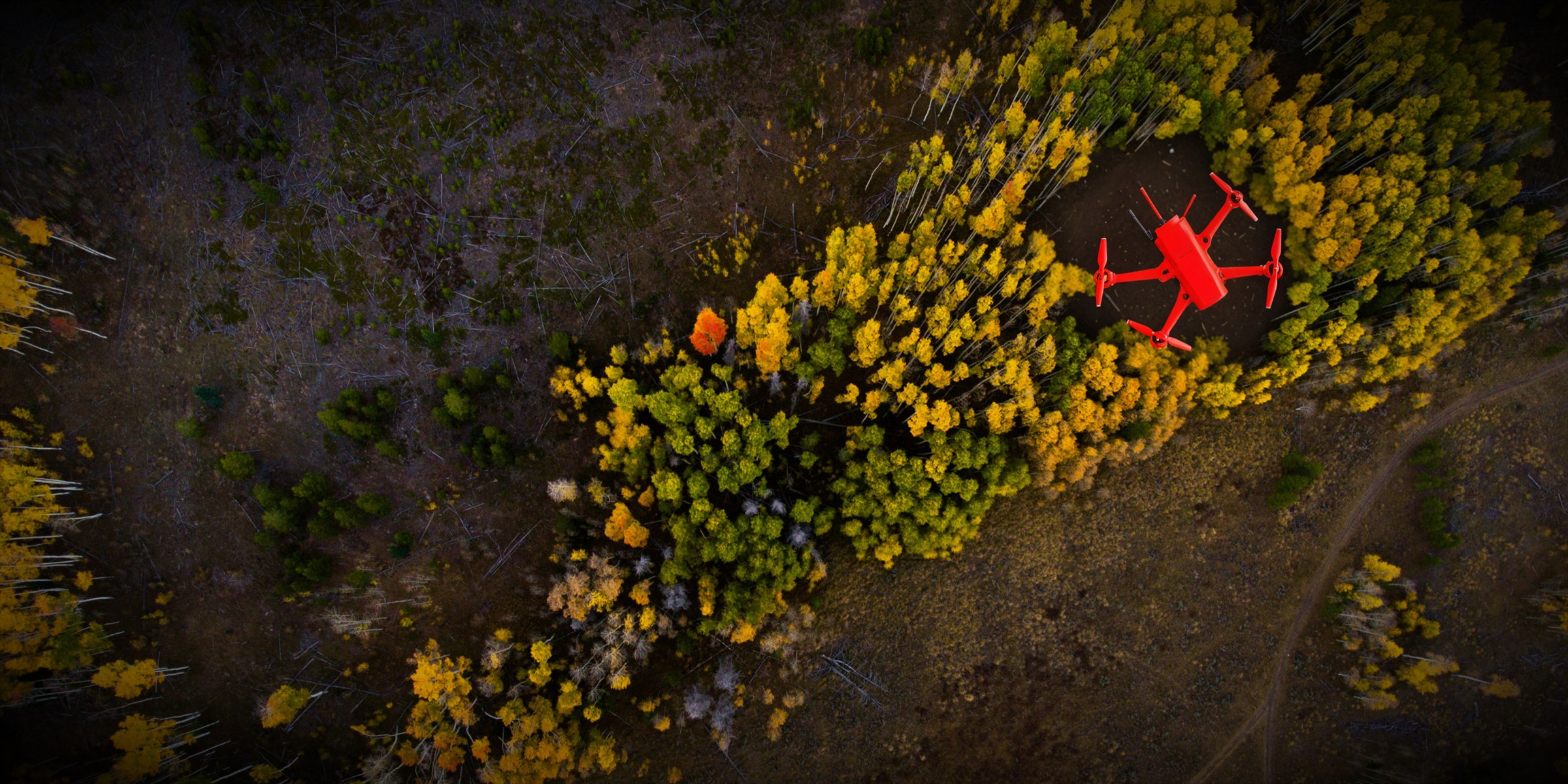
Elevated RGB imagery of visible incident conditions, access, terrain, structures, exposures, and assigned areas.
About IRIS Network
IRIS Network—Integrated Real-time Incident Support—is organized as a Washington nonprofit corporation supporting public-safety agencies. The program is designed to help eligible agencies evaluate and request visual, thermal, mapping, documentation, and secure remote-viewing support without confusing the aircraft with command authority or ground verification.
Mission
IRIS exists to strengthen community safety and resilience by supporting first responders and emergency-response organizations when a small unmanned aircraft is practical for the assignment.
The program does not replace an agency UAS program, mutual aid, incident command, personnel accountability, ground search, structural assessment, medical evaluation, or emergency communications. It supplies a defined aerial resource within the requesting organization’s plan.
Every response is conditioned on actual staffing, airspace, weather, scene safety, equipment, communications, data handling, and the agreed scope of work.
Operating model
The requesting organization identifies the operational question, authority, priorities, location, communications, and intended users of the information.
IRIS establishes a point of contact and works within the organization’s command, safety, communications, and records framework.
Pilot availability, airspace, weather, scene safety, equipment, visibility, connectivity, and legal constraints are checked for each assignment.
Agency participation
Review the IRIS Network participation framework and tell us how your organization currently plans, communicates, and coordinates aerial support.